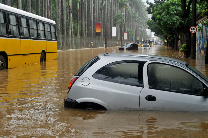
Super typhoon Noru that hit the Philippines intensified in less than 6 hours: Weather manipulation at play?
10/05/2022 / By Ramon Tomey
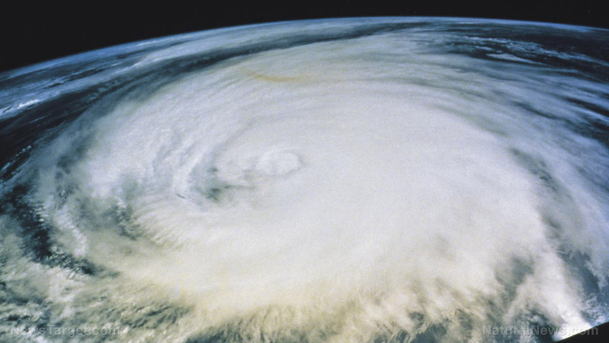
Super Typhoon Noru, which recently battered the Philippines, was reportedly weaker six hours before it hit. This suggests possible weather manipulation.
The Philippines sees an average of 20 tropical storms each year. While Noru did not inflict as much damage or loss of life compared to other storms such as Ketsana in 2009 and Haiyan in 2013, it stood out due to how quickly it intensified.
Residents of Polillo Island, located off the coast of Quezon province’s northern tip, are accustomed to severe weather. Their island sits in the northeastern part of the Philippines facing the Pacific ocean. Storms typically gather strength and turn into typhoons while in this body of water.
However, the residents themselves were stunned by Noru rapidly gaining strength six hours before hitting the island on Sept. 24. It made landfall as a super typhoon on the evening of Sept. 25, with its intensity equivalent to that of a Category 5 hurricane.
“We’re used to typhoons because we’re located where storms usually land,” said entrepreneur Armiel Azas Azul, who owns a bistro on the island. “But everything is very unpredictable, and [Super Typhoon Noru] came very fast.”
Azul managed to prepare for Noru’s arrival, ordering his staff to tie down outdoor furniture and secure the roofs of his bistro’s guest houses. The super typhoon damaged Polillo Island, toppling beach huts and damaging nearby fishing cases. Luckily, Azul’s community was able to receive television broadcasts and learn in time that the typhoon would be stronger than what was forecast.
“But other parts of the island which don’t have internet connectivity and only rely on radio signals might not have got the message in time,” said the 36-year-old business owner.
Noru left a trail of destruction across different Philippine provinces as it traveled eastward, including in the landlocked province of Nueva Ecija. Forty-six-year-old farmer Ruel Ladrido said while his rice fields in the town of Laur were not flooded, the strong winds damaged his crops.
“It didn’t rain hard near me, but the winds uprooted some of my fields,” he said. “It will affect our harvest this season, but what can we do? I don’t know the extent of the damage yet, but we’ll have to plant again.”
Similar phenomenon observed with Hurricane Ian
The U.S. witnessed a similar phenomenon when Hurricane Ian hit Florida.
Before the hurricane hit the southwestern coast of the Sunshine State, it went through two separate bursts of so-called “rapid intensification.” This process, which involves a cyclone’s top wind speed rising by 35 miles per hour (mph) in just one day, turned Ian into a Category 4 hurricane in just 36 hours. By the time it made landfall, it carried winds of 155 mph – almost a Category 5 classification.
Hurricane Ian intensified over the Caribbean’s waters, with high surface temperatures contributing to its strength. A warm pocket of water at the Gulf of Mexico further strengthened the hurricane, before it battered Florida and caused the deaths of at least 77 people.
Writing for Strange Sounds, Steve Quayle could not help but put his two cents on the matter.
“It seems that a series of hurricanes and super typhoons has swept around the world in the last two to three weeks. A question comes to mind: Why are powerful storms becoming harder to forecast? These terrifying storms, indeed, seem to come out of the blue – [hitting] after a very rapid … intensification phase.”
“With increasing weather manipulation – and not climate change – storms, hurricanes and typhoons become harder to forecast. Communities around the world have no choice but to prepare for the worst.”
Quayle commented that scientists, politicians and the mainstream media will point their fingers at “climate change.” He continued: “Weirdly, they always forget mentioning how bad they harm our sky, air and water cycles with their weather modification agendas.” (Related: Weather weapons are targeting human infrastructure, aiming for Extinction Level Event (ELE) via mass famine and collapse.)
“We need to get better than these weather engineers. Otherwise, they will all kill us.”
Watch this video that puts forward the possibility of a scalar wave creating Hurricane Ian.
This video is from the High Hopes channel on Brighteon.com.
More related stories:
Hurricane Ian leaves 2.7 million Florida customers without power; significant casualties expected.
Hurricane Ian DEVASTATES Florida; full recovery expected to take years.
Sources include:
Submit a correction >>
Tagged Under:
chaos, climate, climate science, disaster, environment, Florida, geoengineering, hurricane, Hurricane Ian, national security, natural disaster, panic, Philippines, Super Typhoon Noru, terraforming, tropical storm, weapons technology, weather, weather control, weather engineers, Weather Manipulation, weather terrorism
This article may contain statements that reflect the opinion of the author
RECENT NEWS & ARTICLES
COPYRIGHT © 2017 NATIONAL SECURITY NEWS


